Apresentações/ Eventos
17th International Congress of the Brazilian Geophysical Society / 4th Brazilian Symposium on Seismology
De 8 à 11 de novembro aconteceram, de forma online e concomitantemente, o 17th International Congress of the Brazilian Geophysical Society e o 4th Brazilian Symposium on Seismology. Nestes eventos, participantes do projeto Monitoramento Sismo-Oceanográfico apresentaram resultados de seus respectivos trabalhos. Os trabalhos seguem abaixo. Mais informações sobre os eventos se encontram nas suas páginas oficiais.
17th International Congress of the Brazilian Geophysical Society
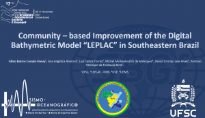
TÍTULO: Community-based Improvement of the Digital Bathymetric Model LEPLAC in Southeastern Brazil.
AUTORES: Fábio Barros Curado Fleury, Ana Angélica Aberoni, Luiz Carlos Torres, Michel Michaelovitch de Mahiques, Deivid Cristian Leal Alves, Antonio Henrique da Fontoura Klein.
RESUMO: This work presents the process of updating the LEPLAC1 Digital Bathymetric Model (DBM) in the southeastern margin of Brazil, following the Recommended Workflow for Analysis of Bathymetric Surfaces used by the Brazilian Navy. As a result of the application of comparative quantitative and qualitative analysis between the reference data and the LEPLAC DBM, two regions of possible artifacts were identified, both in the shelf break. Such results were communicated to the Brazilian Navy, which confirmed its existence and updated the depth values in these locations. The updated version of the LEPLAC DBM were, then, reanalyzed. A Difference Surface Map was built between the two versions of the LEPLAC DBM, in order to spatialize the improvements done by the surface updating procedure. Also, the same quantitative and qualitative analysis were applied to the SRTM15+ V 2.0 DBM, in order to compare the quantitative and qualitative indicators of both bathymetric surfaces. Lastly, a Difference Surface Map between the updated LEPLAC DBM and the SRTM15+ V 2.0 were built, in order to quantify the advances brought to the national bathymetry by the LEPLAC DBM in the study area. The digital surfaces were evaluated by univariate and bivariate statistical techniques, regression analysis, Difference Surface Maps, topographic profile graphs and histograms. The reference data consists of 2778 km of linear bathymetric data from multi-beam and single-beam echosounders, ranging from depths from 10 to 2500 m, in addition to two DBM from multi-beam bathymetry on the Santos Basin slope (Mount Alpha Crucis and Pockmarks Fields). These data were collected by N/Oc Alpha Crucis in surveys of the University of São Paulo and the Federal University of Santa Catarina and are independent of the model confection.
—
4th Brazilian Symposium on Seismology
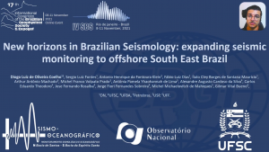
TÍTULO: New horizons in Brazilian Seismology: expanding seismic monitoring to offshore South East Brazil.
AUTORES: Diogo Luiz de Oliveira Coelho, Sergio Luiz Fontes, Antonio Henrique da Fontoura Klein, Fábio Luiz Dias, Ítalo Cley Borges de Santana Maurício, Arthur Antônio Machado, Michel Franco Volpato Prado, Antônia Pamela Yhaohannah de Lima, Alexandre Augusto Cardoso da Silva, Carlos Eduardo Theodoro, Jose Fernando Rosalba, Jorge Fiori Fernandes Sobreira, Michel Michaelovitch de Mahiques, Gilmar Vital Bueno.
RESUMO: The coastal Southeastern region of Brazil concentrated most of Brazilian economical production and largest cities, as well as, nuclear power plants and the largest oil production fields. Despite having a low seismicity rate as compared with other intraplate areas, such as North America and Australia, the Brazilian continental margin lacks more studies for planning future offshore economic activities. This work describes the results from the first Ocean Bottom Seismometers (OBSs) deployed for long-term seismological studies in Brazilian territory carried out by a Brazilian researcher team. The OBS is an autonomous data-acquisition system that free falls to the seafloor to record seismic signals generated by earthquakes and other non seismic signals. Our results indicate that the OBSs provide useful data to retrieve signals that are not recorded by the land stations and they can significantly improve the seismic attributes retrieved in the offshore environment as well as to entice crust and lithospheric studies.


